GiftDeco
World map from 1630 - J. Hondius reprint
World map from 1630 - J. Hondius reprint
Couldn't load pickup availability
Low stock
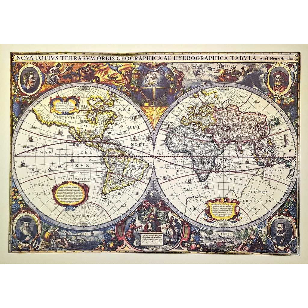
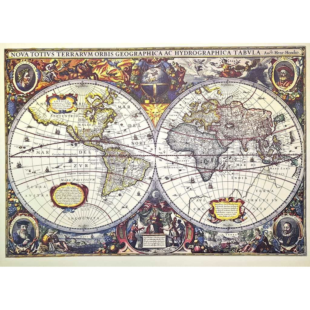
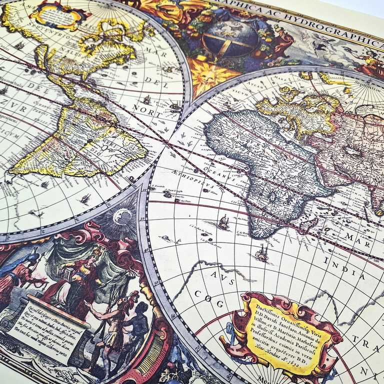
World Map 1630 - J. Hondius reprint The historical world map is a unique decoration that adds a revealing atmosphere to any room. It works reliably as a gift for travelers and historians. The historical map is not just a decoration, but also a source of knowledge about the past. The map has a unique charm and looks beautiful in a frame. Product information: Dimensions: 54.3 x 37.8 cmStorage tube included for the mapThe reprint was made with the greatest care to resemble the original map. Original publication date: 1630Author: Hendrik Hondius History of the map A beautiful, old-colored copy of Henricus Hondius's decorative world map from its 1641 state, which was first published in the 1630 edition of the Mercator-Hondius Atlas. It contains unique geographical features and rich details. The cartouche in the lower right corner contains the date 1641, marking the second state of the map. Four states have been recorded for this map between 1630 and 1666. As a result of its popularity, the map served as a basis for other cartographers. However, the Hondius examples remain among the most detailed and decorative. The decorated cartouches and whimsical illustrations make this map an excellent example of Baroque-style Dutch cartography. Bordered with mythical scenes and fantastic beasts, the world map itself also contains charming illustrations of sailing ships and fish, adding further visual interest to an already attractive tableau. The cartographer Henricus Hondius was the son of the famous cartographer Jodocus Hondius, whose portrait can be seen in the lower left corner. The map also includes portraits of Gerardus Mercator, Claudius Ptolemy, and Julius Caesar. These portraits are not only eye-catching and historically relevant, but also serve to place Dutch cartography (with the example of Hondius and Mercator) alongside the Roman cartographic tradition. In addition to the many beautiful illustrations and map details, several geographical features are noteworthy on this map, including California as an island, the river systems and lakes of North America, and the coastline of Australia.